Cakupan peta preloaded untuk inReach Explorer + devices
Perangkat inReach Explorer + yang dijual di berbagai wilayah di seluruh dunia menawarkan berbagai versi pemuatan preloaded. Lihat informasi di bawah ini untuk melihat area jangkauan dan rincian tentang produk pemetaan preload yang spesifik.
Pemetaan Produk yang ditawarkan
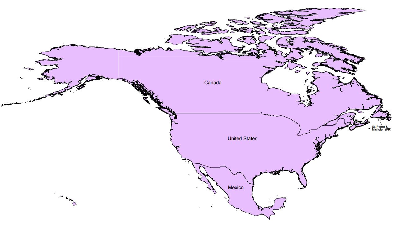
Cakupan Peta Preloaded Amerika Utara
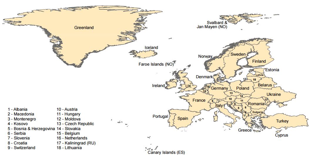
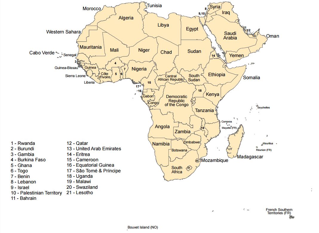
Cakupan Peta Preloaded EMEA (Eropa, Timur Tengah dan Afrika)
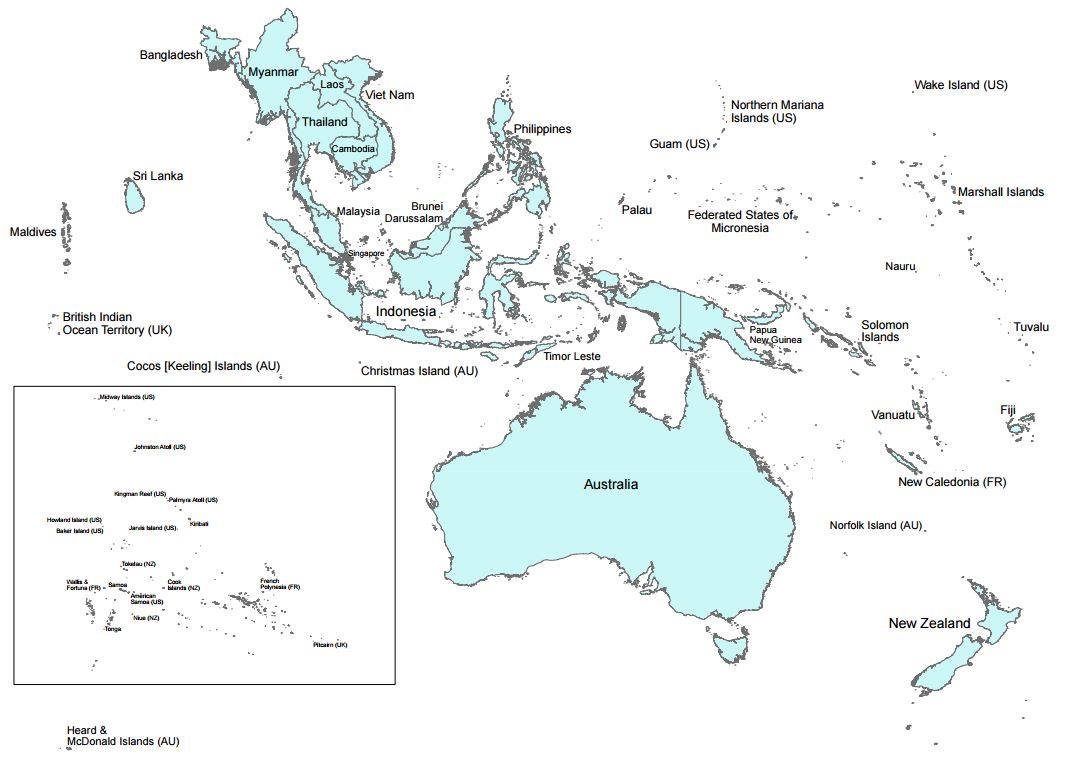
Cakupan Peta Preloaded Oseania
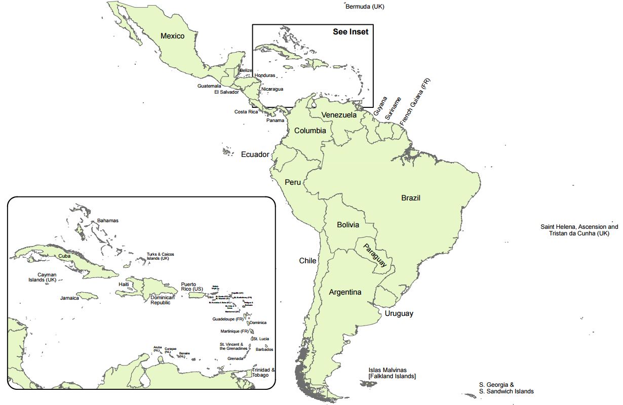
Cakupan Peta Preloaded Amerika Latin
Mapping Products:
Although the preloaded mapping on these devices will only cover the highlighted areas below according to the unit's part number, all inReach Explorer+ devices are able to download additional mapping once they have been activated to an inreach.garmin.com account. Details about each mapping product that is either preloaded or available for download can be found below:
-
Topo North America:
A high detailed topographic dataset with features such as contours with elevation, geographic locations, place names, landmarks, points of interest, hydrographic features, and land-use/land-cover detail. Map detail is consistent and coverage in rural areas is unparalleled. Scale detail is equivalent to 1:24,000 data, similar to what is seen on a USGS Topo Quad. -
OpenStreetMap:
OpenStreetMap (OSM) is a community developed mapping dataset, developed, maintained and added to by community mappers around the world. In densely populated areas of the world OSM is a highly detailed dataset. In many rural areas of the world OSM has medium to low detailed data. Features are added and edited by community members with local knowledge. Coverage of features may vary and include geographic locations, place names, landmarks, points of interest, hydrographic features and land-use/land cover. OSM is an open data source. An open data source elevation dataset is also included. Because the OpenStreetMap data is Volunteered Geographic Information, scale detail is not consistent. Scale detail can vary from 1:24,000 or better in major urban areas to 1:1 million in more rural areas. -
Digital Atlas of the Earth:
The Digital Atlas of the Earth (DAE) is a medium detailed complete, seamless global dataset, and includes all the world’s continents and countries, providing a consistent level of detail and reliable horizontal accuracy for features worldwide. The DAE includes major transportation layers, inland and shoreline hydrography, agreed and disputed jurisdiction boundaries, place names, major topographic features including contours with elevation, and land-use or land-cover detail. This data is topological, routable, and GPS navigable. Also available for the United States, Canada and Mexico for medium detailed data and/or if available memory is a concern. Scale detail is equivalent to data seen on a 1:125,000 map. Worldwide coverage.
Hunting Maps:
The following mapping products are only available for the U.S. and require the a subscription to Earthmate Hunt which can be purchased through your inreach.garmin.com account for $39.95 per year.
-
Public Land Survey System:
Public Land Survey System (PLSS) is a subdivision and description of land in the United States based on a rectangular system of surveys. Typically, the land is divided into 6-mile square townships. The townships are divided into 36 1-mile square sections. Available in most states. -
Game Management Units:
Areas or units defined by each state used to regulate and define hunting boundaries by either species or seasons, or by both species and seasons. Available for all states -
Public Lands:
Lands held and maintained by the United States Government in trust. Examples of lands included are Bureau of Land Management, Bureau of Reclamation, and State Trust Lands. Available in most states.
inReach Explorer+ North America version - Part number 010-01735-10
- Preloaded with Topo North America
 Back to Top
inReach Explorer+ EMEA version - Part Number 010-01735-11
- Preloaded with OpenStreetMap (OSM)
 Back to Top
inReach Explorer+ Oceania version - Part number 010-01735-13
- Preloaded with OpenStreetMap (OSM)
 Back to Top
inReach Explorer+ LATAM version - Part number 010-01735-14
- Preloaded with OpenStreetMap (OSM)
 Back to Top